Boating in Kemijärvi
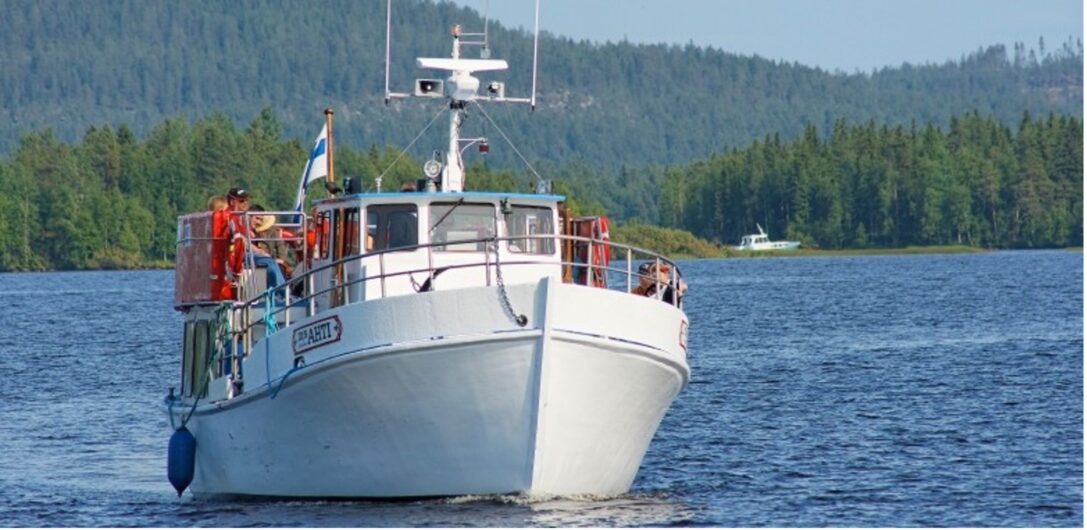
Kemijärvi has a total of seven lake ridges, which are accessible to boaters along marked routes. The total number of marked boating routes on the lake is about 55 km. It is safe to navigate on the marked waterways, but travellers should remember that they are always on the water at their own risk.
From Kemijärvi you can take a boat along the Kemijoki River from the town centre to Pelkosenniemi. The boat route from the town centre to Luuksinsalmi is maintained by Kemijoki Oy and is marked with cardinal markers. The other routes are maintained by the City of Kemijärvi and are marked by lateral markers (red and green signs).
If you notice any deficiencies in the boating signs, report them to the electronic fault reporting system of the City of Kemijärvi or to Kemijoki Oy website You can also check out the boat routes in Kemijärvi
In addition to the marina in the town, there is also a pier in Pajulahti near the centre, where there are two refuelling points for boats. Kemijärvi has several marinas, docks, boat ramps, fireplaces and other recreational facilities along its shores.
Termusniemi and Kalkonniemi dams
Lake Kemijärvi has a bottom dam at Termusniemi and Kalkonniemi. North of the dam, the water level drops by about three metres during the winter from the summer level. South of the dam, the corresponding drop in water level is seven metres. Below the bottom of the dam, there is a thaw almost all year round. In addition, some other flowing areas often have weak ice in winter.
Boating maps and recreational use of the river
Read up-to-date information about Kemijärvi’s boating maps, possibilities and recreational use of the river at Visitkemijarvi.fi
Kemijärvi boat routes
Check out Kemijärvi’s boat routes on the Hiking Map service.